Trout Fishing Lochs around Kirkcudbright
Kirkcudbright is situated on the Solway Firth at the mouth of the River Dee. The town lies within easy reach of a number of lochs to the north, such as Loch Ken, Woodhall Loch, Loch Whinyeon, Loch Kirkconnell, Loch Roan, Carlinwark Loch, Glentoo Loch and Bargatton Loch. Most of the lochs hold populations of wild trout and some offer excellent coarse fishing. Some of the lochs are managed by the local angling club and available by day permit. For more information see Gatehouse and Kirkcudbright Angling Association
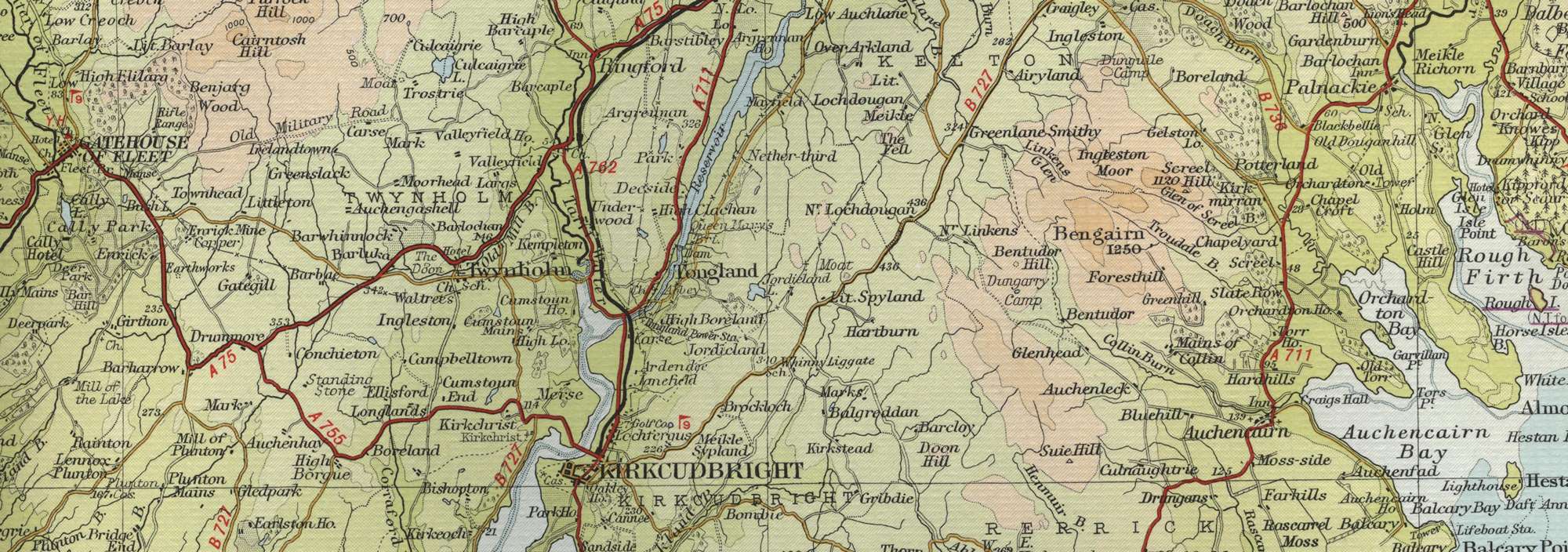
Kirkcudbright Trout Fishing Map
Tap or click on the map below to view full size image

The maps on this website, extracts from the “Half Inch” Bartholomew map series of the mid twentieth century, have been reproduced with the permission of Collins Bartholomew. Viewers should note that these maps date back several decades, to the mid twentieth century in fact. While much of the man-made details such as roads and buildings will have changed over the years, the character of the hills, lochs and rivers, and the trout inhabiting them, will have remained very much the same as they have always been, in the more remote regions at any rate! This website shows detailed maps of the major fishing locations. In addition, however, I would recommend that anglers planning a Scottish fishing or walking trip should be sure to equip themselves with a compass, the appropriate local Ordnance Survey map and a working knowledge of how to use them. The most useful of the O.S. maps for the fisherman is the Landranger series, scale 1:50,000. For Kirkcudbright, see O.S. map number 83.
For information on the salmon fishing rivers in the area see Salmon Fishing in Scotland